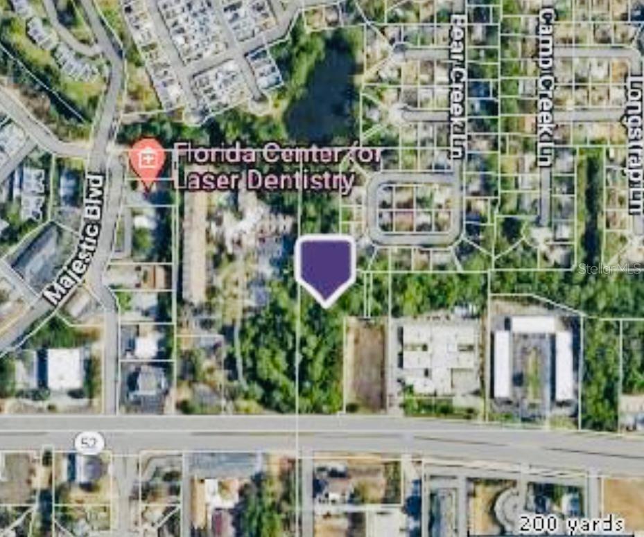
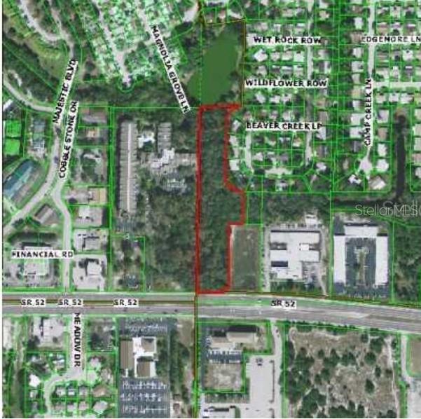
0 Sr 52 Hwy , HUDSON, FL 34667
Property Photos
Would you like to sell your home before you purchase this one?
Priced at Only: $1,700,000
For more Information Call:
Address: 0 Sr 52 Hwy , HUDSON, FL 34667
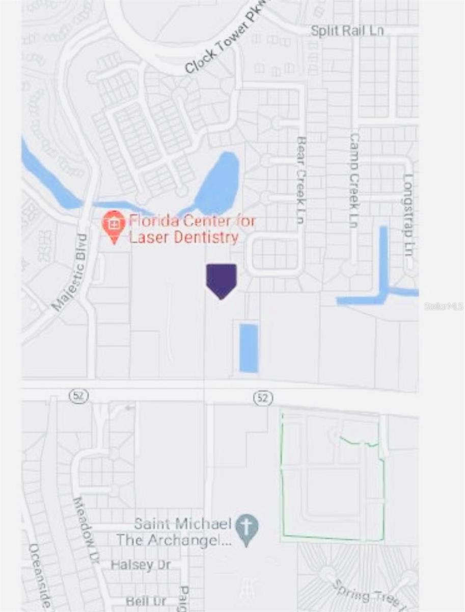
Property Location and Similar Properties
- MLS#: T3535521 ( Land )
- Street Address: 0 Sr 52 Hwy
- Viewed: 31
- Price: $1,700,000
- Price sqft: $0
- Waterfront: No
- Year Built: Not Available
- Bldg sqft: 0
- Days On Market: 150
- Acreage: 3.61 acres
- Additional Information
- Geolocation: 28.3311 / -82.699
- County: PASCO
- City: HUDSON
- Zipcode: 34667
- Provided by: OLYMPUS EXECUTIVE REALTY TAMPA
- Contact: Katia Perdomo
- 407-832-9691
- DMCA Notice
-
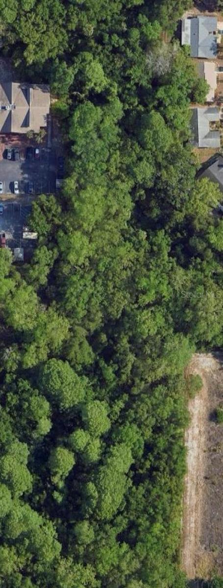
DescriptionThis land can be used for multifamily and commercial, Vacant Land. Easy Show, Possible owner financing. Buyer and Buyers agent to verify all dimensions size of lot. Please call the realtor for more information.
Payment Calculator
- Principal & Interest -
- Property Tax $
- Home Insurance $
- HOA Fees $
- Monthly -
Features
Building and Construction
- Covered Spaces: 0.00
- Living Area: 0.00
Garage and Parking
- Garage Spaces: 0.00
- Open Parking Spaces: 0.00
Eco-Communities
- Water Source: None
Utilities
- Carport Spaces: 0.00
- Sewer: None
- Utilities: Other
Finance and Tax Information
- Home Owners Association Fee: 0.00
- Insurance Expense: 0.00
- Net Operating Income: 0.00
- Other Expense: 0.00
- Tax Year: 2023
Other Features
- Country: US
- Current Use: Commercial
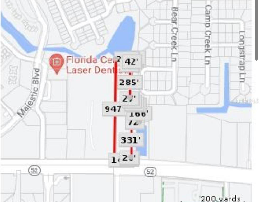
- Legal Description: POR OF WEST 1/4 OF SW1/4 OF SEC 2 DESC AS COM AT SW CORNER OF SEC 2 TH N01DG 25' 13"E 50 FT TO NORTH R/W LINE OF SR 52 FOR POB TH N01DG 25' 13"E 943.93 FT TH N87DG 48' 36"E 216.23 FT TH CURVE LEFT RAD 85 FT CHD S43DG 33' 18"W 114.41 FT TH S01DG 15' 1 9"W 270 FT TH CURVE LEFT RAD 85 FT CHD S43DG 44' 41"E 120.21 FT TH S88DG 44' 41"E 7.31 FT TH S01DG 15' 19"W 165.31 FT TH N88DG 44' 41"W 72.50 FT TH S01DG 15' 19"W 330 FT TH N89DG 27' 01"W 20FT TH S01DG 15' 19"W 20 FT TH ALG NORTH R/W LINE SR 52 N89D G 27' 01"W 142.33 FT TO POB
- Area Major: 34667 - Hudson/Bayonet Point/Port Richey
- Parcel Number: 16-25-02-0000-00200-0010
- Views: 31
- Zoning Code: MF/C1
Nearby Subdivisions
Aripeka
Autumn Oaks
Autumn Oaks South
Bayonet Point Annex
Bolton Heights West
Briarwoods
Cape Cay
Conners Sub 2
Dipaola Sub
Driftwood Isles
Driftwood Isles Sub
Emerald Beach
Enchanted Pines
Florestate Park
Garden Terrace
Garden Terrace Acres
Griffin Park
Gulf Coast Acres
Gulf Coast Acres Add
Gulf Coast Estates
Gulf Coast Hwy Est 1st Add
Gulf Side Acres
Gulf Side Villas
Gulf View Terrace
Holiday Estates
Hudson Beach Estates
Iuka
Jennita Point
Killarney Shores
Long Lake Estates
Not In Hernando
Oakwood Heights
Orange Hill Estates
Pine Island Estates
Pleasure Isles 1st Add
Port Richey Co Sub
Port Richey Land Co Sub
Preserve At Sea Pines
Sea Pines
Sea Pines Sub
Sea Pines Subdivision
Sea Ranch On Gulf
Sunset Estates
Sunset Estates Rep
U S 19 No 11 Addition
Us Hwy 19 09 Add 09
Vista Del Mar
Waterway Shores
Windsor Mill

- Marie McLaughlin
- CENTURY 21 Alliance Realty
- Your Real Estate Resource
- Mobile: 727.858.7569
- sellingrealestate2@gmail.com

